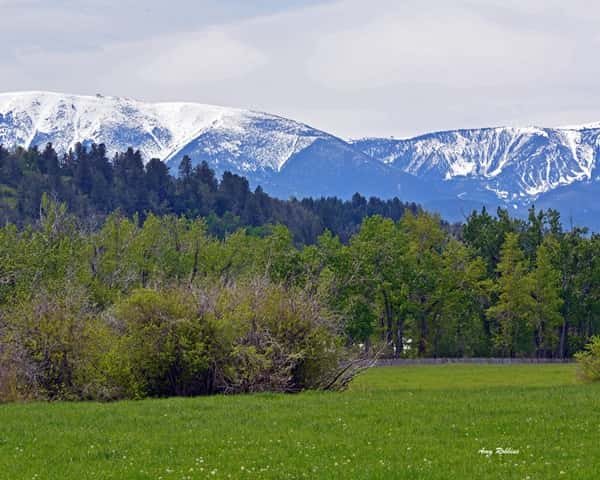
Beware of Spring Flooding – mountain snowpack is far above normal in many areas! In fact the snowpack is the largest on record in some places such as the Wind River basin, which feeds the Lower Yellowstone, currently sitting at 192{43a21437b022293ea22983a65937d7e18883fb2ff2b11e03a1041d36bd400603} of a normal year.
According to Ada Montague, Water Planner for the Montana Department of Natural Resources and Conservation, in the Upper Yellowstone the Park Peak SNOTEL site has had the biggest snowpack in 36 years of record. Cooke City is also showing above average snowpack, with the Fisher Creek SNOTEL reading at 142{43a21437b022293ea22983a65937d7e18883fb2ff2b11e03a1041d36bd400603} of average.
The month of March brought snowpack increases to almost all basins across the state. Exceptions though include the Gallatin Basin east of the Divide which is at 87{43a21437b022293ea22983a65937d7e18883fb2ff2b11e03a1041d36bd400603} of normal, and the Smith-Judith-Musselshell combined basin at 70{43a21437b022293ea22983a65937d7e18883fb2ff2b11e03a1041d36bd400603}.
Highlights of the most recent report from the Monitoring Sub-Committee of the Governor’s Drought and Water Supply Advisory Committee include:
Drought: Too Early to Tell
The MSC reviewed the criteria for assessing drought per the existing Montana Drought Response Plan (1995) and determined that it is too early to be able to make a determination. In the interest of not sounding alarms unnecessarily, the MSC determined it would be more prescient to make an assessment and determine the potential for drought at the next Water Supply Assessment, which will occur in early May. Stay tuned.
Flooding: Be Aware
Flood Watch and Flood Warnings Could be Issued for Certain Areas
The potential for flooding has been an ongoing concern along the Milk and St. Mary Rivers since last October, when record rain across the state caused flooding after a very wet growing season for the Highline. Flooding concerns along the Big Horn, Upper and Lower Yellowstone Rivers began in February when ice jams started causing concern in these areas. The Flathead is now being monitored for flooding due to high snow pack and reservoirs already releasing maximum flows to maintain lake levels. These flooding concerns are likely to persist through the spring months. It is not clear at this time if they will persist beyond June and so another assessment will be made in May to make a further prediction.
The USDA’s Natural Resources and Conservations Service also publishes a Montana Water Supply Outlook Report available on-line.
Of course Mountain Snowpack is only helpful if you live downstream from a mountain. For most of our coverage area, drought is a usually a much bigger concern than flooding. The Governor’s Drought and Water Supply Advisory Committee is already watching which areas are starting to turn dry.
On the DNRC’s most recent “Montana County Drought Status Map” at least 8 Montana Counties are shown as “Slightly to Moderately Moist”, while 34 Counties show “Average” moisture….but 14 Counties are already listed as at least “Slightly Dry” right now.
The growing season is still pretty young, but the recent moisture has farmers and ranchers feeling optimistic.
Northern Ag Network – 2017


